How Directional Drilling Works in OKC Ground
Reading the red beds
Central Oklahoma's Permian red beds are the metro's working ground: rust-red shales and siltstones interbedded with sandstone, weathering into the red clays that mark every excavation in the region. The shales and weathered zones drill steadily and hold a bore well; the sandstone ledges are firmer punctuation that proper tooling handles on schedule; gypsum horizons appear in parts of the metro and ask for fluid-program and corrosion attention where owners require it. The quoting discipline is stratigraphic honesty: name the expected members, price ledge footage as its own class, and let boring logs upgrade the plan from informed to precise.
Weather as infrastructure policy
OKC's atmosphere shapes its underground. Tornado seasons and ice storms have pushed decades of hardening investment — undergrounding, hardened feeders, rebuild programs — and they shape operations too: spring severe-weather windows are planned around, storm-rebuild mobilizations are a rhythm the local trade knows, and a schedule written for this metro carries its sky in the math. The durable result is a client base that treats buried infrastructure as the obvious choice, which suits the trade that puts it there.
The sequence, plains edition
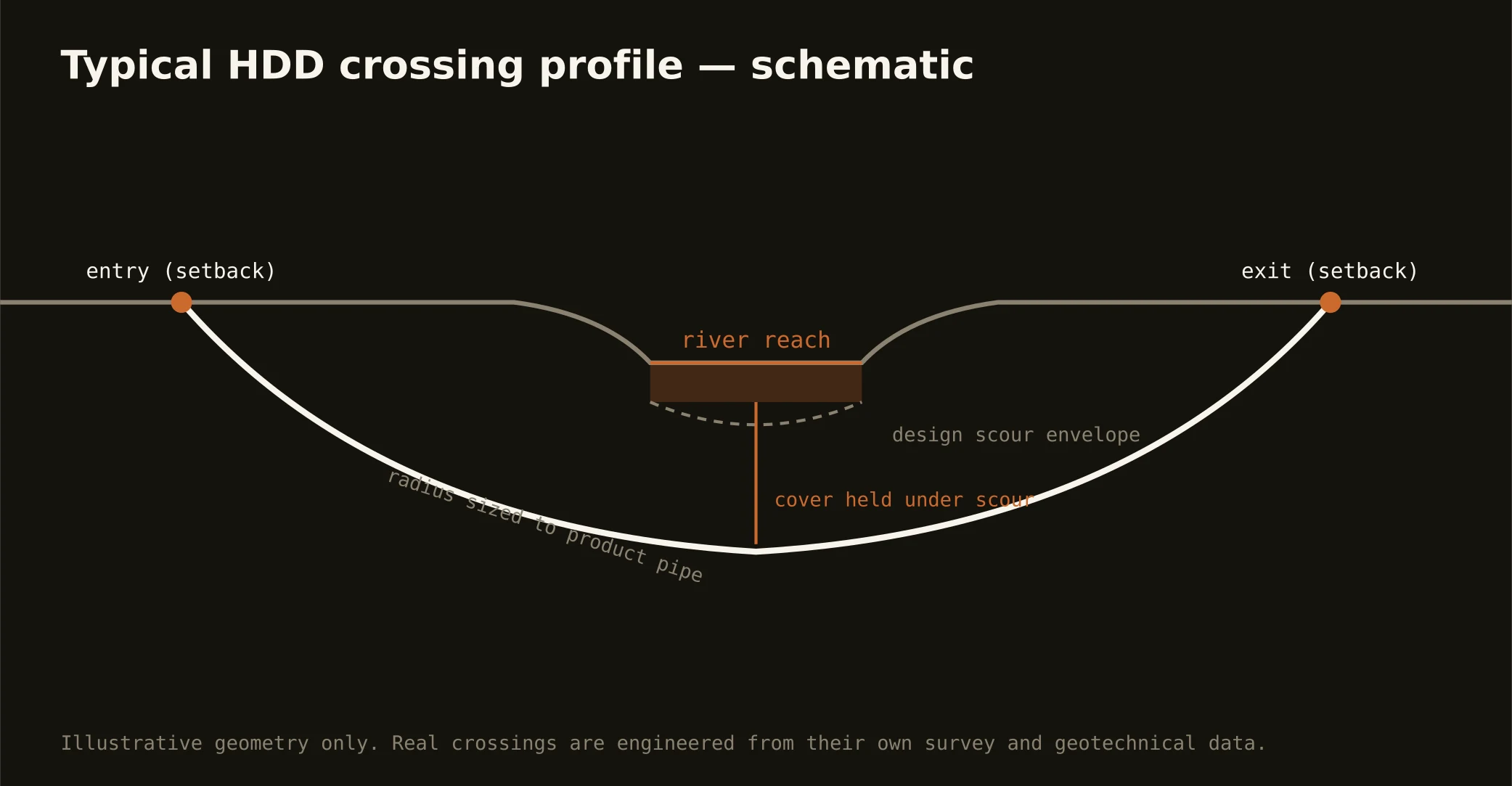
The bones are standard — One-Call locates plus private designating, potholes on every claimed utility, pilot on profile, ream to about one and a half times the product, pull, restore. Plains bends: ledge tooling staged where the red beds say so, fluid program adjusted through gypsum country, pits managed for the perched water the shales sometimes hold, and restoration that respects Bermuda lawns and section-line bar ditches alike.
Who owns what you're crossing
Municipal streets carry their cities' ROW processes, and this metro has many cities across a very large map; county roads carry eight counties' departments; the state system runs on ODOT utility permits; the toll network runs on the turnpike authority's separate process. The river corridor adds its managing interests and floodplain administration; railroads permit their own lines; Tinker's orbit adds federal-adjacent coordination on the east side. The quote names every owner on your alignment — each one is schedule.
Straight answers
Will you hit rock on my bore?
Expect the red beds to show up somewhere — usually as drillable shale, sometimes as a sandstone bench that wants real tooling. The honest quote prices both classes and says which footage is assumed where; logs or geotech turn the assumption into a plan, and central Oklahoma has more subsurface data than almost anywhere, so use it.
How deep do bores run under OKC streets?
Cover follows the owning authority's standard — municipal, county, ODOT, or turnpike — and sits below everything potholed on the alignment. River and rail crossings run deeper on their own engineering. The bore plan states your number before the rig moves.
Does energy-industry activity affect utility bores?
Mostly as an advantage: locate infrastructure, subsurface records, and bore-plan literacy are exceptional here, and pipeline corridors are well-marked professional neighbors. Where an alignment nears gathering or transmission lines, the operator's crossing standards join the scope — coordinated at the desk like every other authority.
Ready to put a number on a real crossing? Send the scope — a person prices it.