Canadian & Oklahoma River Crossings
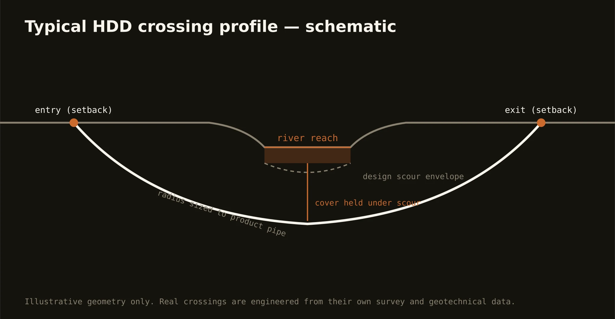
The North Canadian threads the whole metro — dammed and dressed up as the Oklahoma River through downtown's boathouse district, sandy and braided everywhere else — and it's the crossing the metro's east-west utilities can't avoid. The signature OKC bore runs under it: entry and exit set back from the banks, a profile holding cover beneath a channel whose sandy bed migrates with the hydrology, and depth engineered against scour in a river that flashes with plains storms.
The authority picture is workable but layered: the river corridor's managing interests downtown — where the rowing venue and park frontage make the banks civic property in every sense — plus state water-quality oversight, the adjacent road or rail owner, and floodplain administration wherever the crossing sits. Our quotes list the stack for your actual reach and carry its real clocks.
Technically, these are sand-channel crossings over red-bed rock: the sag often rides the interface, so the geotech question is where the sand ends and the shale begins. Fluid discipline runs tight — a braided channel telegraphs returns to the surface fast — with containment on both banks and the response plan written before the pilot turns. The same doctrine covers the Deep Fork, the Little River, and the Cimarron's southern reaches where alignments meet them.